

This website uses cookies so that we can provide you with the best user experience possible. Cookie information is stored in your browser and performs functions such as recognising you when you return to our website and helping our team to understand which sections of the website you find most interesting and useful.
Before you
Speedy & Professional Topographical
Lenmar Surveys
Lenmar Service Location & Mapping, has been carrying out topographical and utility location surveys for engineering contractors and consultants for over 25 years, providing invaluable information on the type, depth and alignment of existing underground services and presenting this information on marked-up drawings. These drawings can be used during the design phase to update utility plans and ensure safe intrusive work during construction.

SERVICE LOCATION SURVEYS
The purpose of the survey is to determine the location and depth of all underground buried services in as far as is practicable and possible with the three location methods as follows and to plot their position onto a topographical drawing.
Location Methods
1. Manhole and Chamber Survey
2. Radio-detection techniques
3. GPR (Ground Penetrating Radar)
During the survey, detected service positions are marked on the ground using a total station. These are transferred to AutoCAD with coordinates. This data creates a 3D model, and x-z, y-z sections can be made. Investigation depth depends on site conditions. Radio-detection and ground probing radar find services within 3.0-4.0m underground, with deeper radar reducing resolution. Lenmar has experience in Irish projects like Dublin Airport and Iarnrod Eireann Kildare Route. Visit our recent projects for more.
MANHOLE SURVEYS
Pipe diameters and invert levels are taken for drainage lines and their connection to the adjacent manholes established. Empty ducts are traced from chamber to chamber by rodding with a sonde or flexitrace and their alignment surface marked. Depth can also be established along the alignment of the service.

The contents of each chamber and depth of cover is noted to produce a table of Manhole/Inspection Chamber details. These tables provide essential information during the mapping process. Each cover is tagged and numbered with marker paint on the ground surface and this identity is maintained during surveying and onto the final drawing.
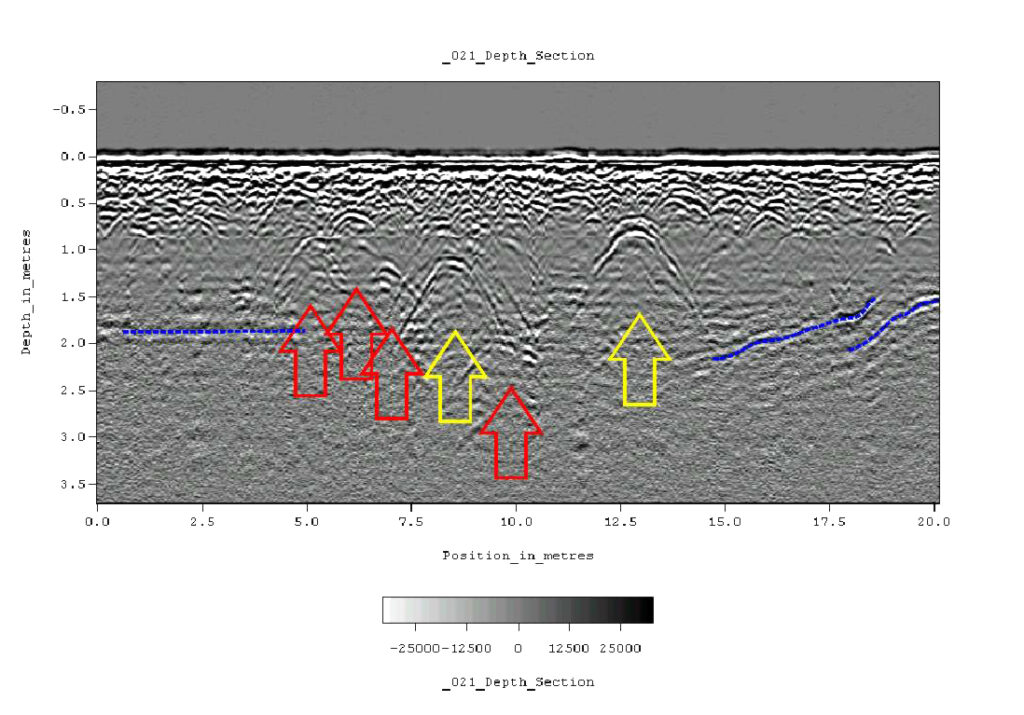
GPR (Ground Penetrating Radar)
Radio-detection can’t find non-metallic buried pipes like plastic water or gas pipes. GPR detects both non-metallic and metallic pipes. GPR uses an antenna to send/receive electromagnetic waves, locating utilities and their depth underground.
GPR also detects objects, maps soil layers, finds water table/bedrock, indicating utility location/depth. It builds a 2D data image by collecting radar signals and can be processed into a 3D view. Limits: waterlogged areas, rough/obstructed surfaces.
Lenmar uses 200-400MHz GPR systems for utility surveys. They clearly identify ducting at 450mm depth and a gas main at 1200mm depth.
RADIO-DETECTION
Radio-detection employs electromagnetics to find underground services. A current along a conductor creates a magnetic field, extending around it in circles. A receiver coil notes the magnetic field’s amplitude, which varies based on its position and orientation.
 Moving the receiver sideways tracks the maximum signal response and the buried service line. This method locates electrical cables by gridding the area to scan for power cables. For telecom cables, inducing a known frequency current on a conductor with a generator and scanning with a matching frequency receiver in chambers traces their position and depth.


SURVEYING
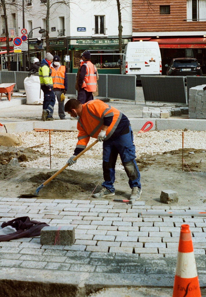
As the survey progresses and detected and identified services are surfce marked with colour coded spray paint onto the ground surface, the survey crew will begin to pick up the surface laid information with GPS or Total Station equipment. This information can be tied into local or national grid reference for overlaying onto OS or topographical drawings.
This information can prove to be invaluable in the design process where recognition of sub-surface features can determine the extent and order of initial site works and final utility layout. Trial holes can also be excavated to confirm the survey findings and to determine pipe material.
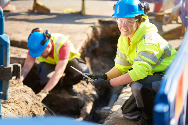
Position, alignment and depth of services can be verified by slit trenching. Also pipe material and condition of external wall can be examined. Lenmar can provide slit trenching and trial hole excavation in order to complete a comprehensive understanding of the underlying features and utilities within a specific site.
Make Contact
Lenmar Surveys, Collinstown Business Park, Swords Rd, Cloghran,
Co. Dublin. K67E3H2
Tel:01 842 8401 / Mob:086 820 9828
donal@lenmargroup.com

Registered in Ireland Co. Registration No: 343226
Website by Stewart Design.ie